
Sources for Woodstock Neighbors
The most useful block sources describe parcels, owners, civic geography, or registered voters. Each has a clear boundary. The Cherokee map establishes which tracts are next to one another. The assessor adds the owner printed on each tax card. Plats define formal lot and block ties. A voter file covers registered people whose public address is not protected. None is a full household roll.
| Source | What It Shows About a Block | Access |
|---|---|---|
| Cherokee GIS | Parcel outlines, IDs, adjacency, map layers | Free map |
| Cherokee assessor | Owner, situs, tax mailing address, parcel card | Free search |
| Recorded plats | Subdivision, lot, block, and formal adjacency | Clerk index or counter |
| Public voter list | Registered names and address fields, with protected gaps | Data request; current fee not verified |
| Woodstock GIS | City limits, wards, and dated annexation facts | Free map and service data |
| Public civic contacts | Organization area, officers, meetings, joining route | Public pages or direct request |
A parcel owner may live elsewhere, and several households can share one parcel. Keep an occupancy field blank unless a separate lawful source supports it. That small habit prevents an owner map from being mislabeled as a directory of Woodstock neighbors.
Map a Woodstock Neighbor Block
The adjacent-parcel method grows outward from a known address. It is more precise than drawing an arbitrary circle because roads, corner lots, cul-de-sacs, streams, and subdivision lines shape a real block. The map should answer which tracts touch or face the subject parcel before any owner names are recorded.
- Search or zoom to the subject address in the Cherokee GIS Tax Parcel Viewer. Use Identify and note the parcel outline and ID.
- Click each touching parcel, then the facing parcels across the road. Keep parcel lines visible over street or image context.
- Open the linked property card for each tract. Record situs, owner as printed, deed citation, source date, and city jurisdiction in separate fields.
- Compare the owner mailing address with situs only as an occupancy clue. Check a homestead indicator when shown, but do not treat it as conclusive.
- Use the recorded plat when a subdivision lot or block gives a better boundary. For a whole named road, move to the Woodstock street directory workflow.
The map's address, parcel ID, owner field, Identify tool, layer tree, zoom controls, and measure function each serve a distinct task. Use only the layers needed for the question so zoning, elections, and service lines do not obscure the parcel pattern.
Read Woodstock Neighbor Parcels
For each Woodstock neighbor parcel, capture the parcel ID, situs address, owner name, tax mailing city and state, exemption indicator if displayed, deed citation, subdivision lot or block, city status, and source date. The tax card may also show legal description, values, building facts, and sale history. Those fields describe the tract and assessment, not the makeup of a household.
- Parcel
- A mapped tract with its own tax identifier.
- Situs
- The physical location assigned to the parcel by the assessor.
- Plat
- A recorded map that sets out lots, blocks, streets, and other boundaries.
- Mailing address
- The destination for the owner's tax notice, which may differ from the parcel.
Corner tracts may use an entrance address that differs from the assessor situs. Condominiums can have separate unit parcels or a master parcel. Vacant land has an owner but no resident. Check the map position and legal description before deciding which records belong to the block.
Define Woodstock Blocks with Plats
A subdivision name does not prove an HOA exists. The recorded plat is the sound source for lot and block relationships, while public organization pages establish whether an association offers contacts, meetings, or a directory. Search the Cherokee Clerk's recorded documents by plat, subdivision, book and page, or legal-description terms. Use the counter when the online image or older index is missing.
Woodstock GIS adds wards, city limits, and historical ordinance layers. These help explain which public body represents or serves an address. County GIS also exposes precinct, school board, legislative, and utility layers. Such overlays describe civic assignment, not who lives on a parcel.
For a public association inventory, record the group name, area served, public website, officer or contact route, meeting details, joining method, and whether the group itself says a directory exists. History Cherokee and the Sequoyah Regional Library can also help identify established local history and community sources. No comprehensive official Woodstock neighborhood or HOA directory was found, so private rosters should not be assumed available.
Woodstock Neighbors Across City Lines
Postal Woodstock is larger than incorporated Woodstock. Both principal mailing ZIPs extend into unincorporated Cherokee County, so two nearby addresses can share a postal city while only one lies inside the municipal boundary. County deeds, taxes, probate, and election administration still apply countywide, but city permits, police jurisdiction, wards, and city records depend on incorporation.
The Woodstock historical ordinance service records parcel-linked annexations and rezonings. It includes dated changes through August 2026, with Hames Road parcels added in November 2024 and further additions in 2025 and 2026. Date-check the boundary when researching an older block.
Geography tip. Keep postal city, municipal jurisdiction, parcel identity, and subdivision name in separate columns. They are related but not interchangeable.
Woodstock Neighbors in Voter Data
Georgia My Voter Page is an identity-gated self-check, not a way to browse a block. It requires first initial, last name, county, and date of birth. A lawfully obtained public voter list is the distinct block-level route. Ask the Secretary of State or Cherokee Elections for an existing county or precinct product, the available public address fields, file format, election-history span, current cost, and permitted-use terms.
A voter list includes registered voters, not all Woodstock neighbors. It omits children, unregistered adults, and people who are not eligible. VoteSafe makes qualifying residence addresses confidential for voters affected by family violence or stalking. Sensitive identifiers and full dates of birth are not public. Voting history can show participation, never a ballot choice.
Source comparison: parcel records show ownership; voter data shows a dated registration link; public association pages show community roles. Commercial neighbor tools blend many sources, may merge people, and can be stale. Official records are narrower, but their keeper and date are clear.
Public Woodstock Community Contacts
Public contacts can show how a block connects to a civic group without exposing a private member list. No authoritative citywide association directory or complete HOA inventory was located for Woodstock. Use only an organization's own public claims, and write “no public directory stated” when that is what the evidence shows.
Woodstock GIS
Use current boundaries, wards, planning layers, and historical ordinance metadata for municipal context.
History Cherokee
Ask about maps, photographs, cemeteries, newspapers, vertical files, and local research services.
Sequoyah Library
Ask reference staff about Cherokee telephone books, reverse volumes, yearbooks, and local files.
The History Cherokee site is a public starting point for the county's historical community material. Congregation, club, watch, and private association rosters remain permission-based unless the group publishes them.
Request Woodstock Block Records
When a map does not show the needed year or field, request the existing source from its custodian. Ask the Clerk for a plat or deed citation, Cherokee Elections for an existing voter-list product, or Woodstock for a named ward, annexation ordinance, permit, or planning record. Include the parcel ID, street address, case or ordinance number, date range, and desired electronic format.
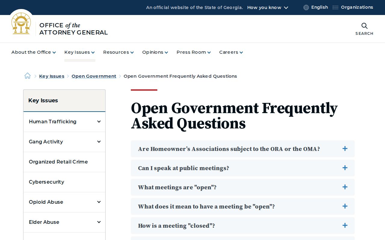
The Georgia open-government FAQ explains that agencies must respond within three business days, though the reply may give an estimate and later production date.
A narrow request for an existing record is easier to route than a demand that staff create a new block report.
Privacy for Woodstock Neighbors
A map shows land, not a household. Owner rolls miss many occupants. Voter files omit unregistered people and protected addresses. Utility-customer, delivery, motor-vehicle, and private membership data are not general public neighbor directories. Even a true owner name should not be republished as a targeted list of private people.
State public-safety tools have their own scope. The Georgia Department of Corrections search concerns corrections records, not a general block directory.
Verify the identity, status, and source date, and never use a public-safety listing to harass anyone.
Lawful use. Research Woodstock neighbors for civic awareness, reconnection, or personal safety. Never watch, stalk, threaten, harass, or intimidate another person.