
Walk a Woodstock Street Directory from One Address
The clearest street directory workflow begins with one full address and builds outward only after its parcel identity is secure. Cherokee County keeps tax, parcel, deed, plat, and most election records, while Woodstock keeps municipal permits, ordinances, wards, and city GIS layers. Canton is the county seat, so many records for a Woodstock address are held there.
- Search the Cherokee property system by location address. Save situs, parcel ID, owner, owner mailing address, legal description, subdivision or land-lot terms, and deed citation.
- Open the parcel in Cherokee GIS. Click nearby tracts and add only useful layers such as city limits, zoning, precincts, utilities, or wards.
- Use the deed book/page or owner in Landmark. Capture grantor, grantee, recording date, and controlling land description.
- Distinguish Georgia My Voter Page, an identity-gated self-check, from public voter lists requested from Cherokee Elections.
- Ask Sequoyah Regional Library or History Cherokee whether a reverse volume covers the street and year. No verified Woodstock year run is published online.
A parcel card establishes assessed ownership, a deed establishes a transfer, and a voter list may connect a registered voter to an address. None names every person living there.
Search Woodstock Streets in the Cherokee Assessor
The assessor is the strongest first pass for current ownership along a road. It accepts an address rather than requiring a person’s name, and parcel cards supply stable identifiers for later searches. If a full suffix returns nothing, use fewer terms and compare the result with the map.
| Search control | Input | Street use |
|---|---|---|
| Owner Name | Surname or business | Check parcels linked to a known owner |
| Location Address | Street number and name | Open one parcel or scan matches |
| Parcel Number | Cherokee parcel ID | Return to the exact tract |
| Map | Map mode | Browse the road and nearby parcels |
| Search / Clear | Buttons | Run a broad variation, then reset |
A card may show owner and co-owner, mailing and situs addresses, parcel, tax district, acreage, legal description, values, building traits, sales, and exemption indicators. Record its tax year. The owner mailing address is a correspondence destination and can be outside Woodstock.
Two Address Clues in a Woodstock Parcel Card
A frequent street directory error is reading the owner mailing line as though it were the property. The situs line identifies the physical parcel. The mailing line tells the assessor where notices go. When both match and a homestead indicator appears, owner occupancy has more support, but the record still does not inventory a household.
Key distinction. Public parcel ownership is not automatic proof that the named owner lives at the Woodstock situs address.
A different mailing address can have many explanations the card does not give. Report only the narrow fact. For a particular person, use the Woodstock resident lookup and seek another independent anchor.
Browse Woodstock Parcels by Street in GIS
The Cherokee GIS Tax Parcel Viewer turns address matches into geography. Search an address or parcel number, click Identify, and pan along the road. Parcel boundaries show which tracts touch. Layers can add zoning, precinct, commission, school board, legislative, water, and sewer context. Woodstock’s operational GIS supplies wards, city limits, and historical ordinance layers.
- Parcel
- A mapped tax tract with its own identifier and legal description.
- Situs address
- The physical location assigned to assessed property.
- Plat
- A recorded drawing relating lots, blocks, roads, and easements.
- Criss-cross directory
- A directory arranged by address or street instead of surname.
Map layers describe land and services, not occupants. Save the popup with its update date, and let a deed or plat control any important boundary conclusion.
Woodstock Street Directory Sources and Their Reach
No single Woodstock street directory contains all owners and occupants. Each source answers a narrower question and uses distinct access channels.
| Address source | Keeper | What it establishes | Access |
|---|---|---|---|
| Property roll | Cherokee Tax Assessors | Owner, mailing/situs, parcel, traits | Spatialest or assessor |
| Parcel map | Cherokee and Woodstock GIS | Tracts, jurisdiction, districts | Free viewers |
| Deeds and plats | Superior Court Clerk | Parties, dates, book/page, legal identity | Landmark, GSCCCA, Canton counter |
| Voter list | Cherokee Elections | Registered voters and public address fields | Written request; MVP is self-lookup |
| Permits | City or county | Work, applicant, contractor, inspections | Portal or records request |
| Reverse directory | Library if held | Printed occupant for an address and year | Reference inquiry; years unverified |
When the web stops, contact Deeds and Records at 90 North Street, Suite G-150, Canton, use GSCCCA where suitable, or request an existing record under the Georgia Open Records Act.
Move from a Woodstock Parcel to Its Deed Chain
Use a parcel card’s book-and-page clue in the Landmark search, or search the current owner as grantee. Capture instrument number, recording date, type, grantors, grantees, legal description, return-to party, and image status. Appearance in a deed proves a recorded role, not residence.
To move backward, take the seller named as grantor in the current deed and search that person as an earlier grantee. Match the legal description, then repeat. Landmark does not publish its first online year, result cap, full instrument list, or image price. Older books may require GSCCCA, the clerk counter, or chiefly pre-1900 Archives and FamilySearch microfilm.
The Cherokee deed FAQ is shown here.
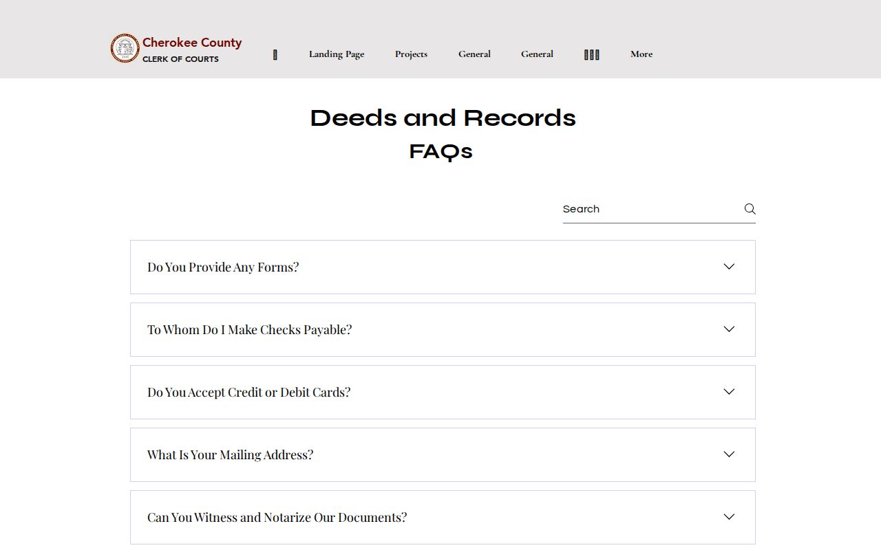
It confirms the official fallback when a by-address search needs a book the online index does not expose.
Use Woodstock Plats and Permits as Dated Evidence
A subdivision lot and block or Cherokee land-lot and district can survive postal and jurisdiction changes. A plat connects the current street address with that older identity and helps show which parcels share a block or phase. It is stronger than guessing from similar street numbers.
Permits can date work, additions, inspections, and code activity. An applicant or contractor is not necessarily a resident. If no public portal covers the year, send a request to Woodstock for city work or the county for county-administered work. Ask for existing permit records keyed by address or parcel, since the Open Records Act does not require a new report.
Woodstock Annexation Can Change the Records Desk
A Woodstock mailing label does not settle city jurisdiction. Both principal postal areas extend outside the boundary. Cherokee County remains the keeper of deeds, taxes, probate, and county elections, but the city can become the right desk for municipal permits, police, wards, and services after annexation.
The city’s historical ordinance service appears below.
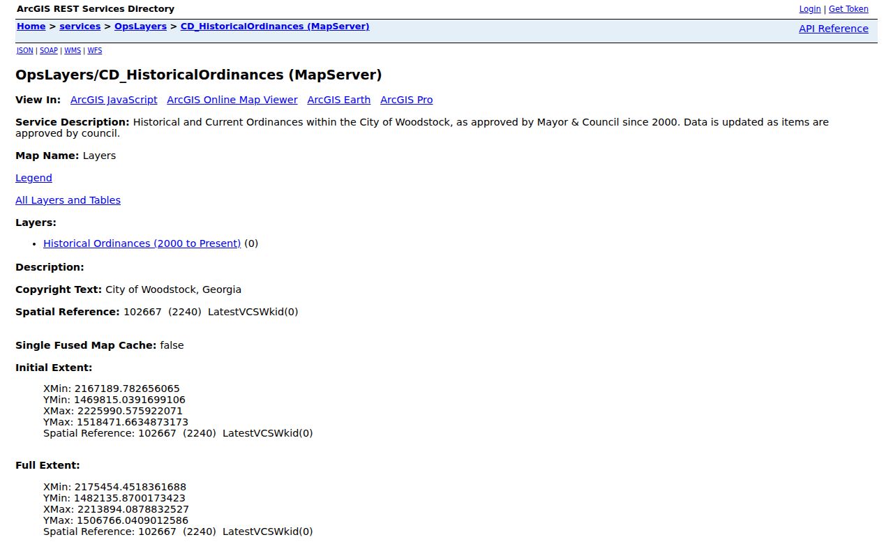
Its parcel metadata bridges a stable mailing address and a changing municipal custodian.
The GIS lists Hames Road additions dated November 25, 2024, more parcel annexations in September and October 2025, and updates in July and August 2026. Use its case ID and parcel number to request the ordinance or staff report. No verified citywide renumbering year exists in the research, so parcel identity is safer.
Voter Evidence Along a Woodstock Street
Georgia My Voter Page lets a voter confirm personal status, precinct, polling place, districts, sample ballot, and absentee information after identity checks. It is not an unrestricted by-street tool. Public voter lists are a separate product requested from Cherokee Elections under election-record rules.
A list can give address evidence for registered people, but it excludes those not registered and may contain stale or inactive entries. VoteSafe shields qualifying addresses. Save the list date and status, and never treat an absent name as proof that an address is empty.
Ask for Woodstock Reverse Directories by Year
A reverse directory is the historical source made to read by address. No online inventory confirms a standalone Woodstock run, publishers, or years. Ask Sequoyah Regional Library and History Cherokee for Cherokee telephone books, metro volumes including Woodstock, and reverse sections. Give the street, approximate year, and old spellings.
If no volume exists, combine census schedules released through 1950, tax digests, deeds, plats, and newspapers. The Woodstock city directory guide covers that shelf. Absence from one book is not proof of absence because rural routes, publication lag, omissions, and scope all matter.
Limits of a Woodstock Street Directory Search
Property files emphasize owners. Voter data includes only registered voters. Deeds name instrument parties. Permits name people or firms linked to work. None is a complete occupant roll, and protected data creates proper gaps. Utility customer files and driver data are not open substitutes; motor-vehicle information is restricted by the federal DPPA.
Use address records lawfully. Never use Woodstock street data to stalk, harass, intimidate, or harm anyone, and respect protected-address safeguards.
A sound street directory notebook separates confirmed facts from inferences. Put the parcel tax year beside ownership, the recording date beside a deed, the publication year beside a reverse-directory entry, and the extraction date beside a voter file. Write “owner mailing address differs” rather than guessing why. Mark a permit applicant by that role rather than calling the person an occupant. These small labels make the record chain easier to audit and keep later updates from being mistaken for facts that were true at an earlier date.
Keep each source date beside every claim. If a public instrument exposes a protected identifier, contact the clerk with the instrument number and field. Corrections belong with the official custodian.